Risk Toolbox
Multi-Hazard assessment
SAFE Toolbox
The SAFE (Sensitivity Analysis For Everybody) Toolbox provides a set of functions to perform Global Sensitivity Analysis. It implements several methods, including the Elementary Effects Test, Regional Sensitivity Analysis, Variance-Based (Sobol’) sensitivity analysis and the novel PAWN method.
|
Hazus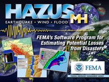
Hazus is a nationally standardized risk modeling methodology. It is a free GIS-based desktop software with a collection of inventory databases for the U.S. Hazus identifies areas with high risk for natural hazards and estimates physical, economic, and social impacts of earthquakes, hurricanes, floods, and tsunamis.
|
Earthquake loss estimation
OpenQuakeThe OpenQuake Engine is the Global Earthquake Model Foundation’s (GEM) state-of-the-art, open-source software developed for earthquake hazard and risk modelling. The functionality to analyze hazard and risks at specific site, country or regional level makes the OpenQuake a powerful tool for assessing the potential impacts of earthquakes at any location in the world.
Robust Fragility 1.0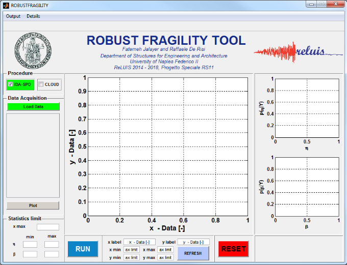
The graphical user interface "Robust Fragility 1.0" is a post-processing tool for results of structural analyses (e.g., nonlinear dynamic or static analyses) suitable for calculation of fragility curves and their confidence intervals. It is based on the implementation of a Bayesian regression to account for the uncertainty of the fragility parameters due limited availability of suitable ground motions
|
Tremblor - Check your Risk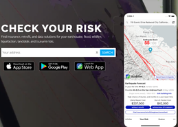
Temblor, Inc. is a catastrophe model specializing in seismic hazard and risk assessment. Though not free of cost, offers a good overview of how risk can be linked with insurance, reinsurance and mortgage lenders. Temblor provides the public with accessible and understandable information about earthquakes.
Downtime quantification
The algorithm by Eyre et al. allows the estimation of downtime after a natural hazard related event through Facebook posting activity on public businesses pages. Determining whether businesses are open is key to assess the recovery. The algorithm was employed by Facebook Data for Good team during the COVID19 pandemic.
|
InSAFE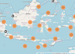
Near realtime earthquake impact assessments following recent earthquakes in the Indonesia region. Shakemaps of earthquake ground shaking are produced by the Indonesian Agency for Meteorology, Climatology and Geophysics (BMKG) to produce InaSAFE impact assessments within minutes of an earthquake.
School Buildings Safety
This mobile App developed by the University of Bristol is a toold for quantifying the seismic risk of schools in delevoping countries such as Nepal and Malawi, by convoluting seismic hazard maps and fragility estimates that are based on the rapid visual survey of the user.
|
Flood loss estimation
CAPRA Flood
This software originates from ERN-Flood V.2.1.0 developed by ERN-AL, which allows the analysis of river flooding, based on a set of stochastic rainfall scenarios obtained from ERN-NHRain, IT-NHRain or ERN-Hurricane.
|
KalypsoKalypso is an open source modeling system for numerical simulations in water management. Flood protection concepts are developed and flood hazard and flood risk maps are calculated as prescribed by EU Floods Directive 2007/60/EC.
|
SOBEK Suite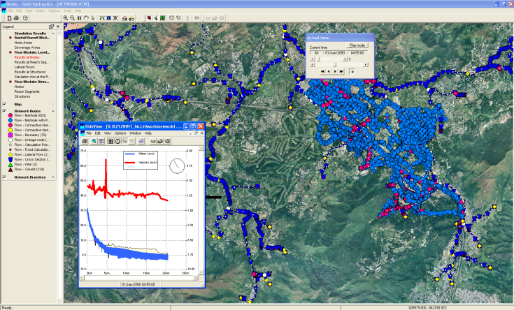
SOBEK is a modelling suite for flood forecasting, optimization of drainage systems, control of irrigation systems, sewer overflow design, river morphology, salt intrusion and surface water quality. SOBEK modelling suite simulates the complex flows in almost any system.
|
Tsunami/Storm Surge /Wave loss estimation
TCRM |
|
|
TCRM was borne out of a desire to explore the epistemic uncertainty around parameterisations used in tropical cyclone hazard models. There are a wide range of idealised radial profiles and boundary layer models available in the literature, and the choice of profile or boundary layer model will influence the resulting hazard (and risk) produced the model.
|
Wind/Hurricane/ Storm loss estimation
SLOSH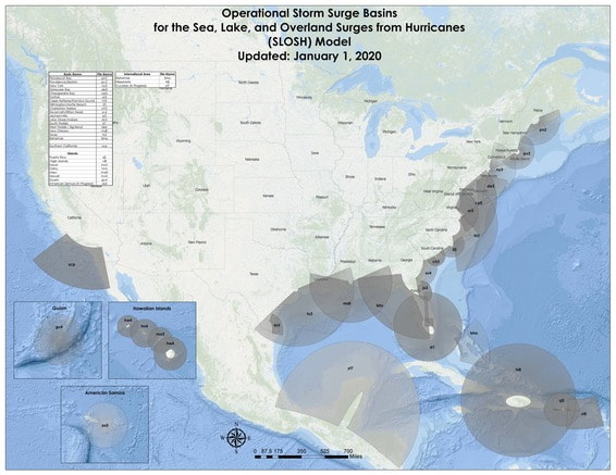
The Sea, Lake and Overland Surges from Hurricanes (SLOSH) model is a computerized numerical model developed by the National Weather Service (NWS) to estimate storm surge heights resulting from historical, hypothetical, or predicted hurricanes by taking into account the atmospheric pressure, size, forward speed, and track data. These parameters are used to create a model of the wind field which drives the storm surge.
|